Do you know how many trees grow at Sun Yat-sen University?
Recently, the 3D team from the Advanced Remote Sensing Program at the School of Geospatial Engineering and Science, conducted a precise digital survey of every tree across all campuses using self-developed advanced spatial information technology. The initiative, launched to celebrate Grain in Ear (a traditional Chinese solar term) and World Environment Day, represents the first detailed record of SYSU's green assets.
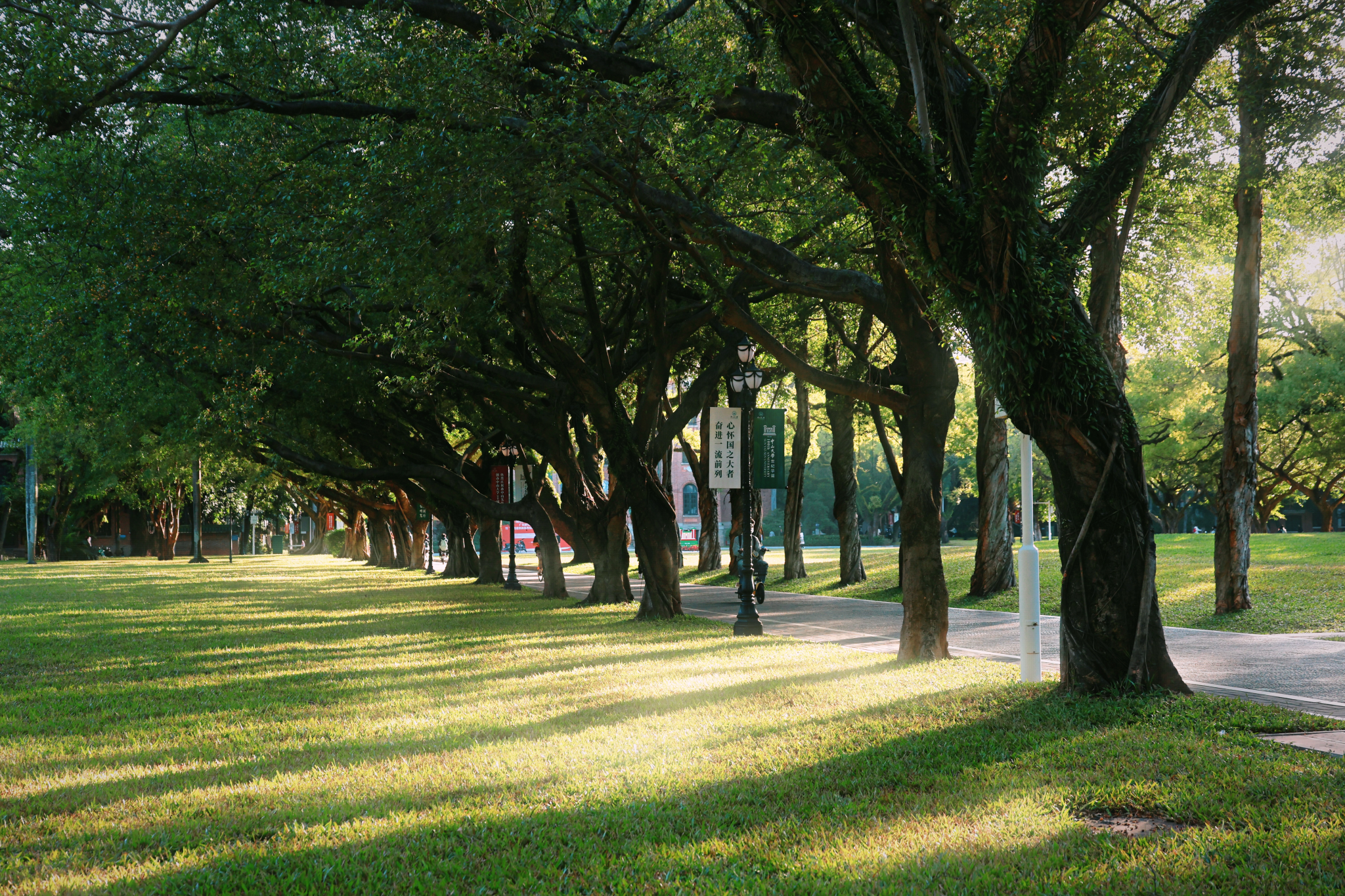
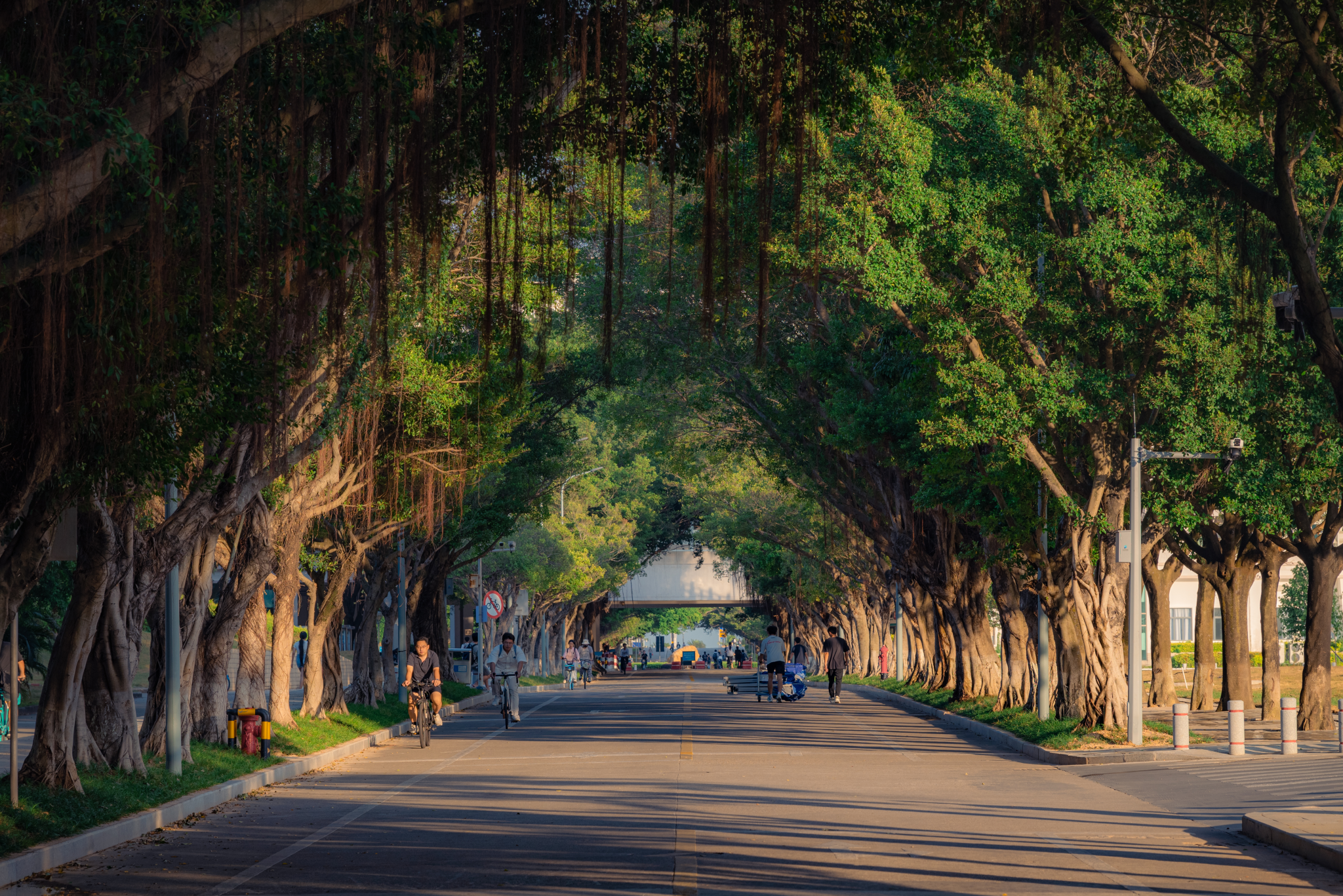
The campus of SYSU
The data reveals the following: Zhuhai Campus has a total of 55,760 trees, averaging 4.52 trees per person. Shenzhen Campus follows with 18,192 trees, or about 1.5 trees per person. Guangzhou South Campus has 19,414 trees, with each student enjoying an average of 1.06 trees. Guangzhou East Campus is home to 15,056 trees, translating to nearly one tree (0.97) per person. Guangzhou North Campus has 1,836 trees, averaging 0.15 trees per person.

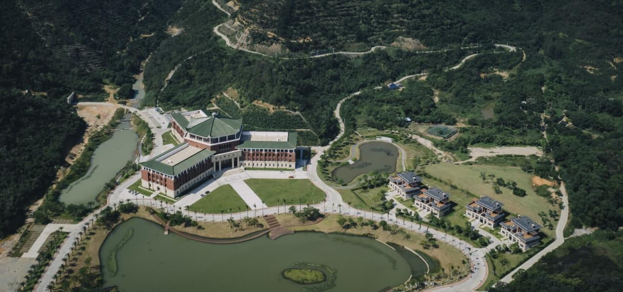
The campus of SYSU
The complex terrain, diverse vegetation, and dense, overlapping tree canopies on campus posed major challenges for the survey. To tackle these, this team developed the "EasyPoint", a high-precision point cloud processing tool, which can leverage a 3D perspective to detect features that are difficult to identify in 2D imagery. Its key strengths are the ground filtering algorithm and the individual-tree segmentation algorithm. Advanced ground filtering algorithm produces a cleaner and more accurate ground model, laying the foundation for precise tree counting, while the individual-tree segmentation algorithm can significantly reduce commissions and omissions, ensuring the reliability of the data.
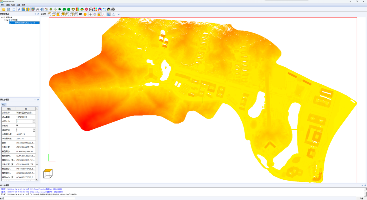
The interface of the “EasyPoint”
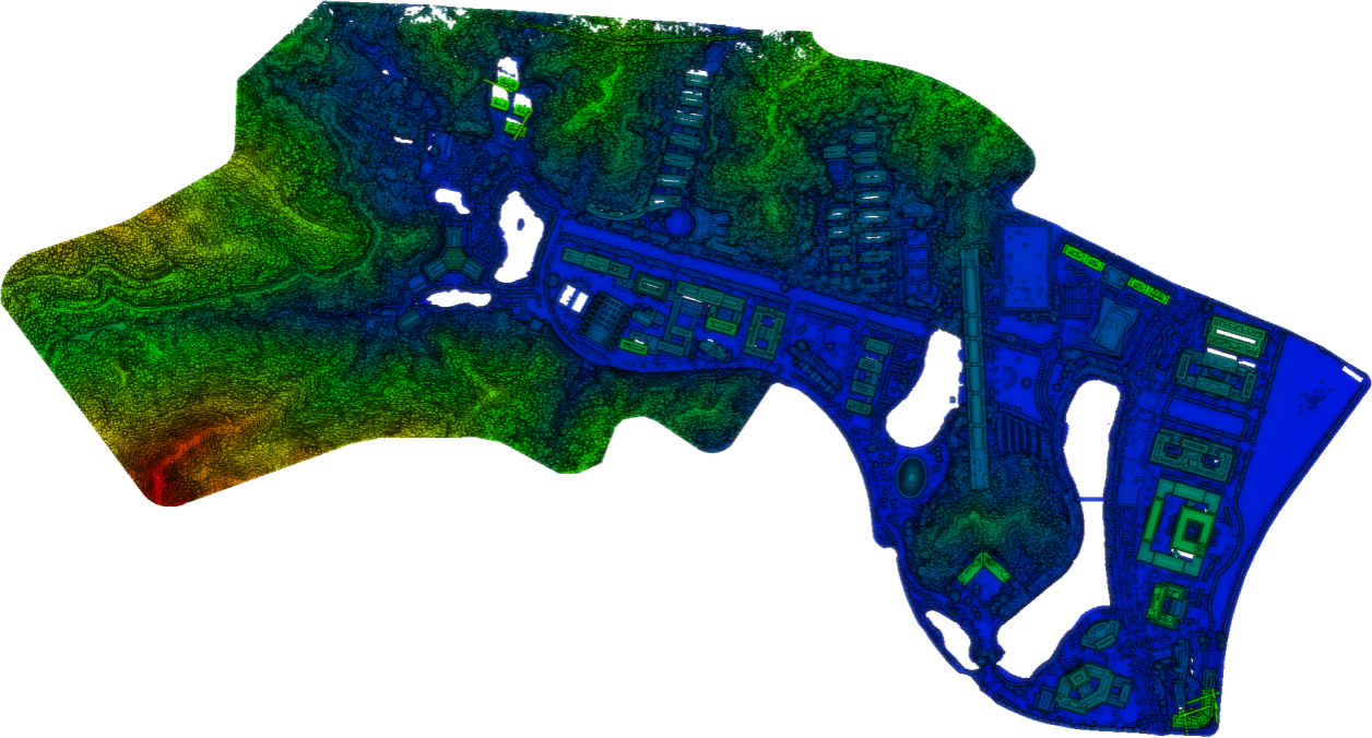
Raw point cloud data of Zhuhai Campus

Ground points of Zhuhai Campus after EasyPoint filtering
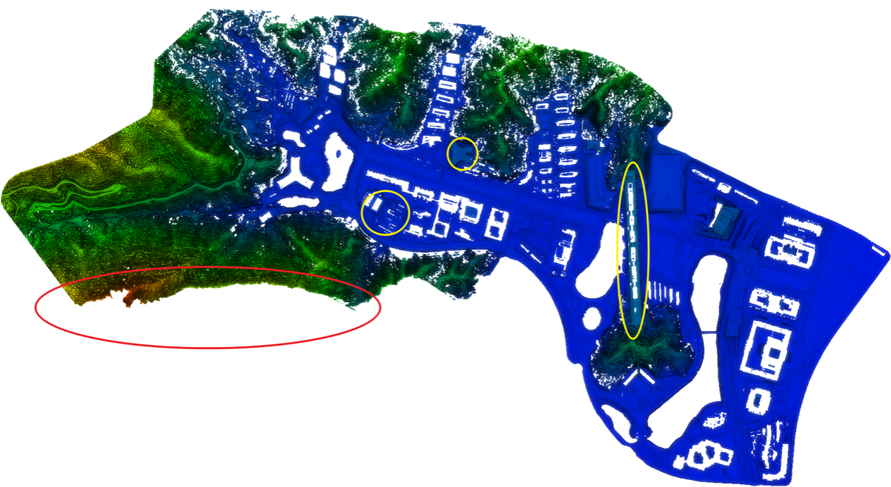
Ground points of Zhuhai Campus filtered by other commercial software show limitations including missing sloped terrain (red circle) and incomplete removal of buildings (yellow circle).
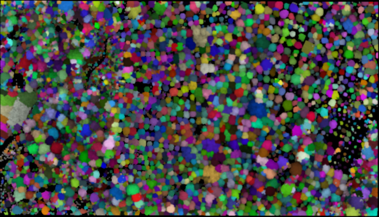
The result of the individual-tree segmentation algorithm

The results from other commercial software show limitations, including over-segmentation of individual trees and high sensitivity to parameter settings.
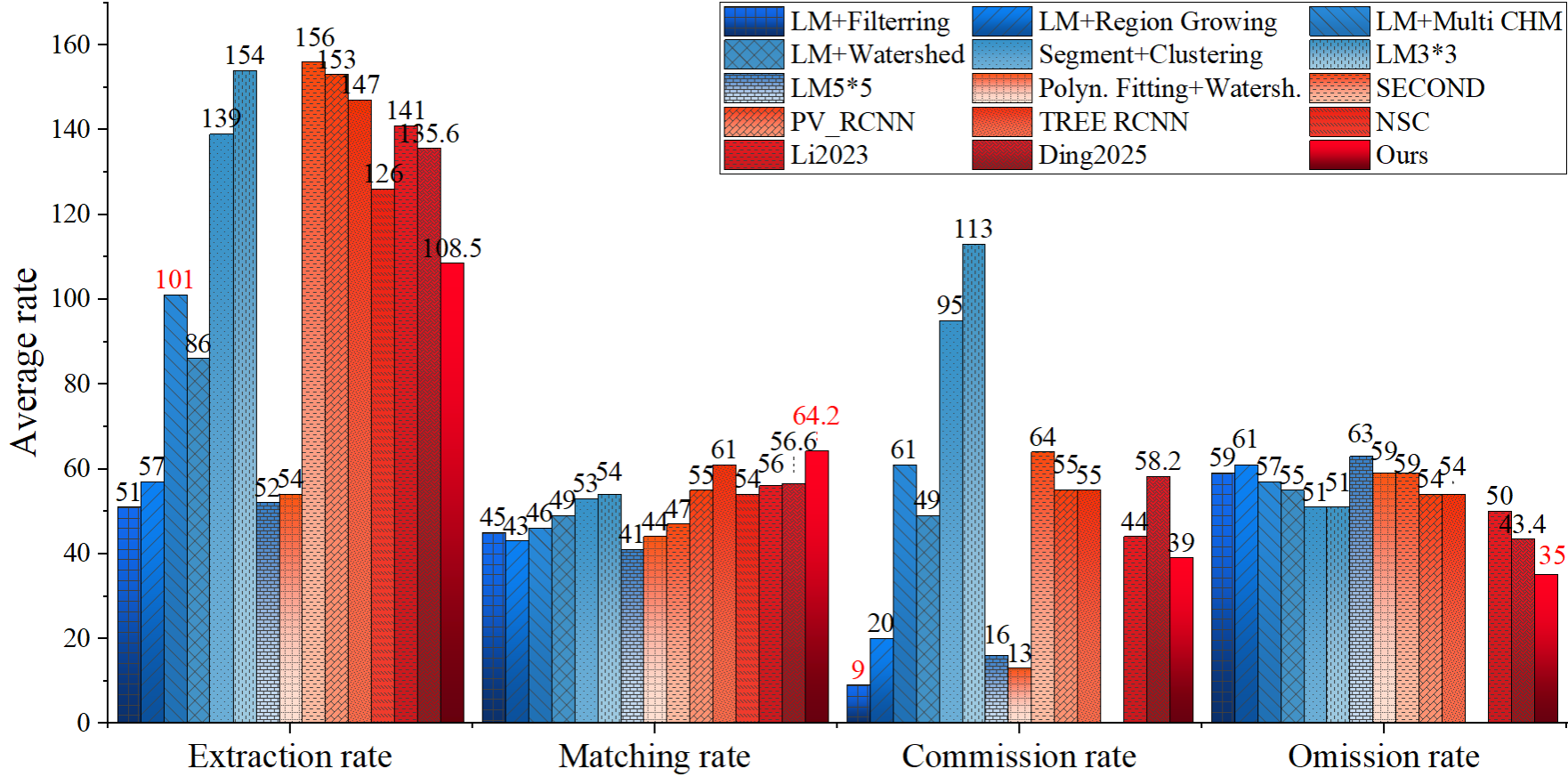
EasyPoint improved individual-tree segmentation accuracy by 13.4% over traditional methods and 5.2% over deep learning approaches.
In the future, SYSU plans to implement detailed individual-tree modeling and dynamic monitoring of tree growth, enhancing ecological simulation and assessment across its campuses to continuously improve the university's green index.